
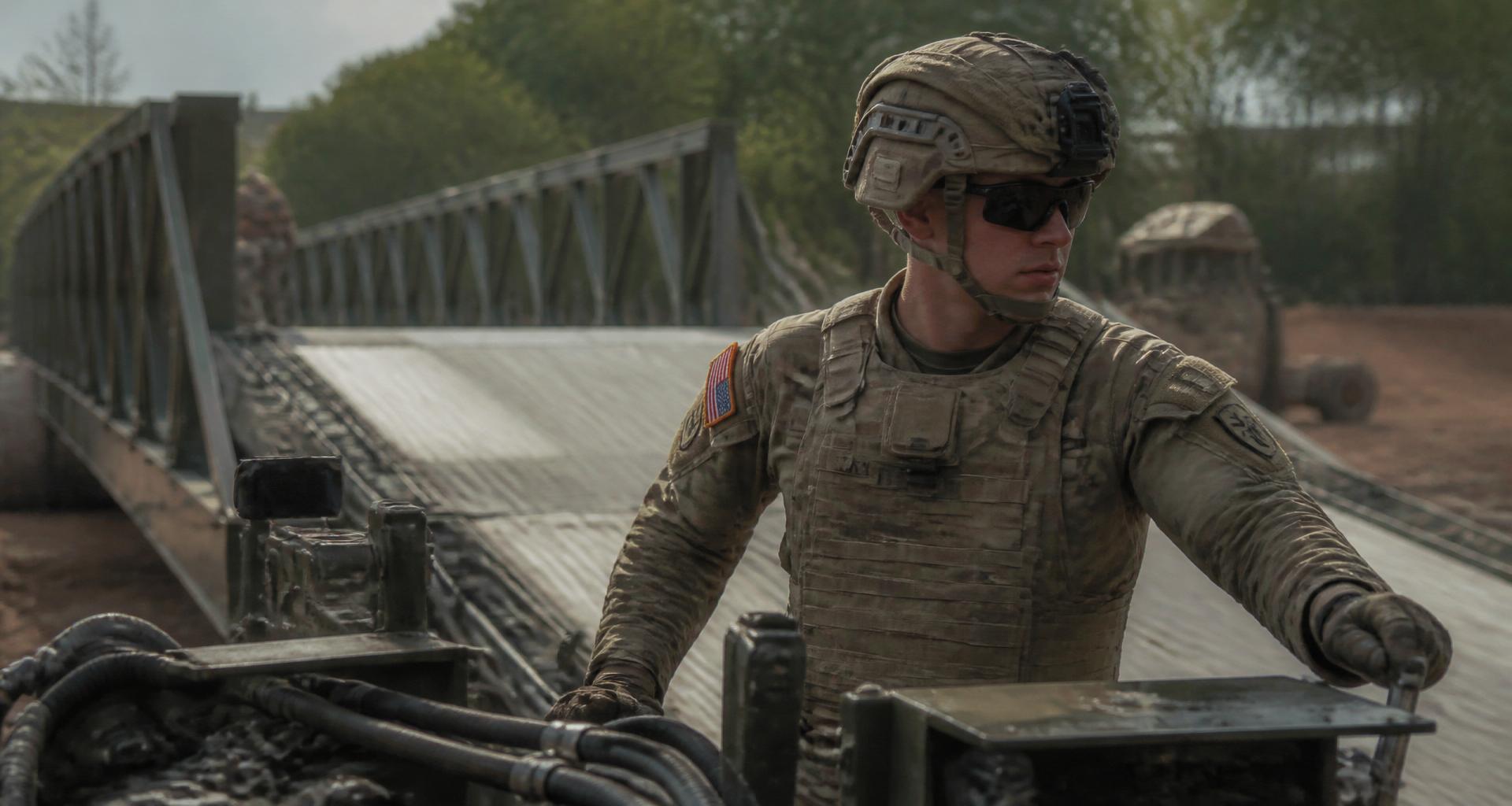
Geospatial Engineer
Job Overview
As a Geospatial Engineer, you’ll provide invaluable visualization of the land and battlefield in advance of sending troops into unfamiliar terrain. From conditions and effects of terrain and weather on vehicles and troop movements, to points of tactical interest during missions, you’ll examine all aspects of the battlefield before boots ever hit the ground. You’ll extract and analyze geographic data from satellite imagery, photography, and field reconnaissance, then use this data to create different types of maps and databases. You will also use the information you gather to support military and civilian operations for Disaster Relief and Homeland Security.
History & Deep Dive
AI-assistedWriting a detailed history and deep dive… first visit takes ~5 seconds, then it's cached forever.
ASVAB & Qualification Requirements
- GT100
- ST100
Video Library
Career Progression
Bonuses & Special Pay
Bonus availability changes frequently — confirm current amounts with a recruiter.